Max Flight specializes in all forms of land survey work. We utilize a variety of aircrafts that can be matched to fit your requirements, while our expert pilots are trained to create a stable, safe platform in the air to help you achieve superior results. Our aerial land surveys are capable of not only producing detailed data, but also high-quality images of the land and its surroundings.
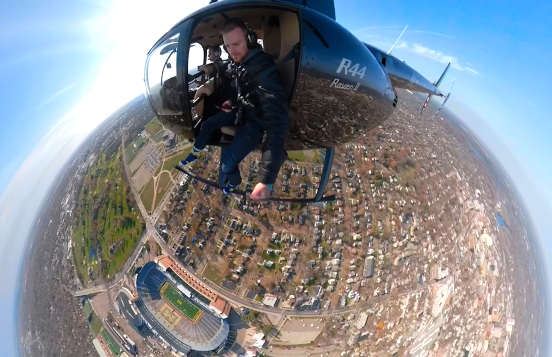
Helicopter land surveys are a more effective method for producing data than ground surveys and even fixed-wing aircraft surveys. With a helicopter’s ability to fly much closer to the ground and more slowly than fixed-wing aircraft, it’s possible to get more accurate data and detailed imagery, and in less time!